


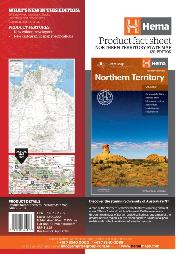
Product Details
+
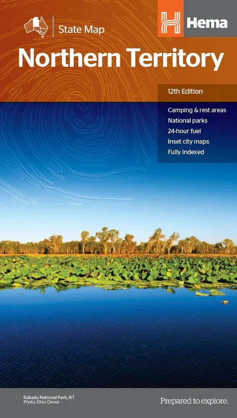
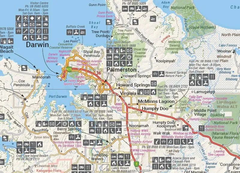
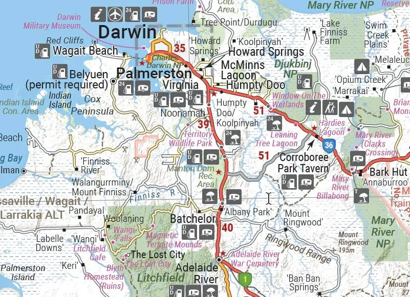
Northern Territory Map: Camping, Rest Areas, Fuel Stops, and Points of Interest
Plan your ultimate Northern Territory adventure with this detailed and durable map. Perfect for road trips, camping expeditions, and exploring iconic landmarks, this map is packed with essential information to make your journey seamless and enjoyable.
Features
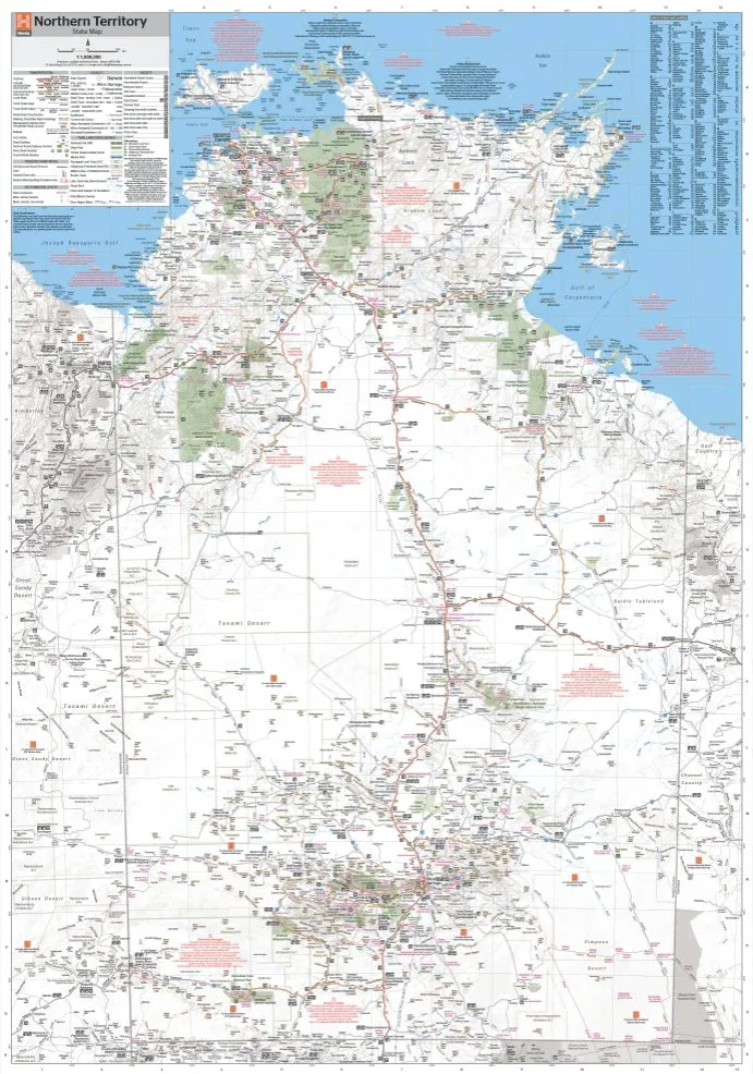
- Comprehensive map of the Northern Territory highlighting:
- Camping and rest areas
- 24-hour fuel stops
- Points of interest including historic sites and scenic locations
- 4WD tracks and GPS-surveyed roads
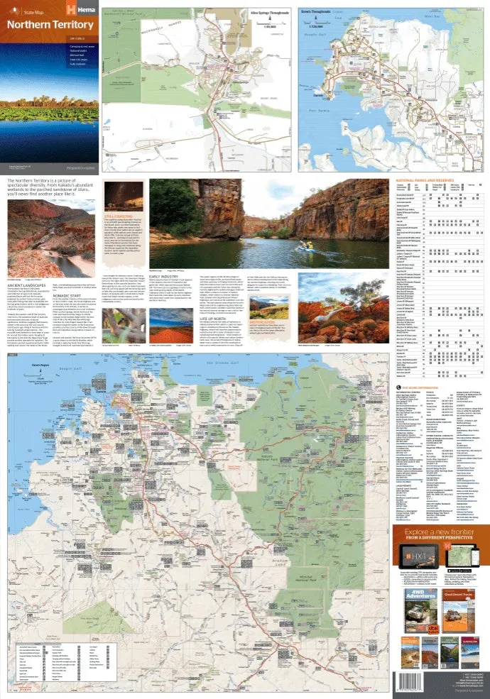
- Reverse side includes:
- Through road maps of Darwin and Alice Springs
- Map of the greater Darwin region
- National park matrix with trip planning information
- Contact details for information centres
- Detailed inset maps for key locations.
- Printed on waterproof and durable paper for rugged use.
Specifications
- Edition: 12th
- Publication Date: 28/10/19
- Scale: 1:1,800,000
- Folded Size (WxHxD): 140mm x 250mm x 3mm
- Flat Size (WxH): 700mm x 1000mm
- Weight: 0.09kgs
Whether you're planning a family vacation or a solo off-road adventure, this map provides the information and durability you need to explore the Northern Territory with confidence.
About the Brand
We create maps designed for adventurers and explorers, combining accurate cartography with practical features. Our products are made to withstand the elements while helping you navigate Australia's most stunning destinations. Let us guide your journey through the Northern Territory and beyond.
")


